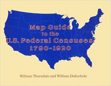
The county has always been used as the basic Federal census unit. Genealogical research in the census, therefore, begins with identifying the correct county jurisdictions. This work shows all U.S. county boundaries from 1790 to 1920. On each of the nearly 400 maps the old county lines are superimposed over the modern ones to highlight the boundary changes at ten-year intervals. Also included are (1) a history of census growth; (2) the technical facts about each census; (3) a discussion of census accuracy; (4) an essay on available sources for each state's old county lines; and (5) a statement with each map indicating which county census lines exist and which are lost. Then there is an index listing all present-day counties, plus nearly all defunct counties or counties later re-named. With each map there is data on boundary changes, notes about the census, and locality finding keys. There also are inset maps that clarify territorial lines, a state-by-state bibliography of sources, and an appendix outlining pitfalls in mapping county boundaries. The detail in this work is exhaustive and of such impeccable standards that there is little wonder why this award-winning publication is the number one tool in U.S. census research.
| LoC Classification |
G1201.F7T5 1987 |
| Dewey |
317.3 Do |
| Cover Price |
$49.95 |
| No. of Pages |
420 |
| Height x Width |
1.0
x
8.5
inch |
|
| Read It |
No |
| Location |
Rock Island County Historical Society |
| Purchase Date |
June 2015 |
| Owner |
RICIGS |
| Links |
Amazon US
|
|
| User Lookup 1 |
Shirley Glover |
|
Shows U.S. county boundary maps for the census decades superimposed on modern county boundaries. Gives background information on each census, including census availability for each county.